
Manufacturers of Airborne Remote Sensing, Surveillance and Mapping Cameras
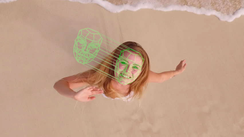
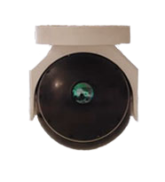
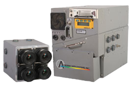
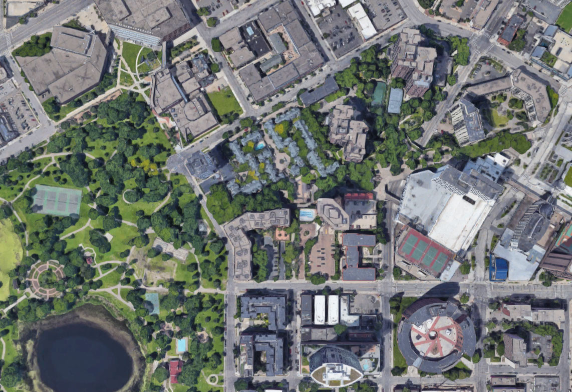
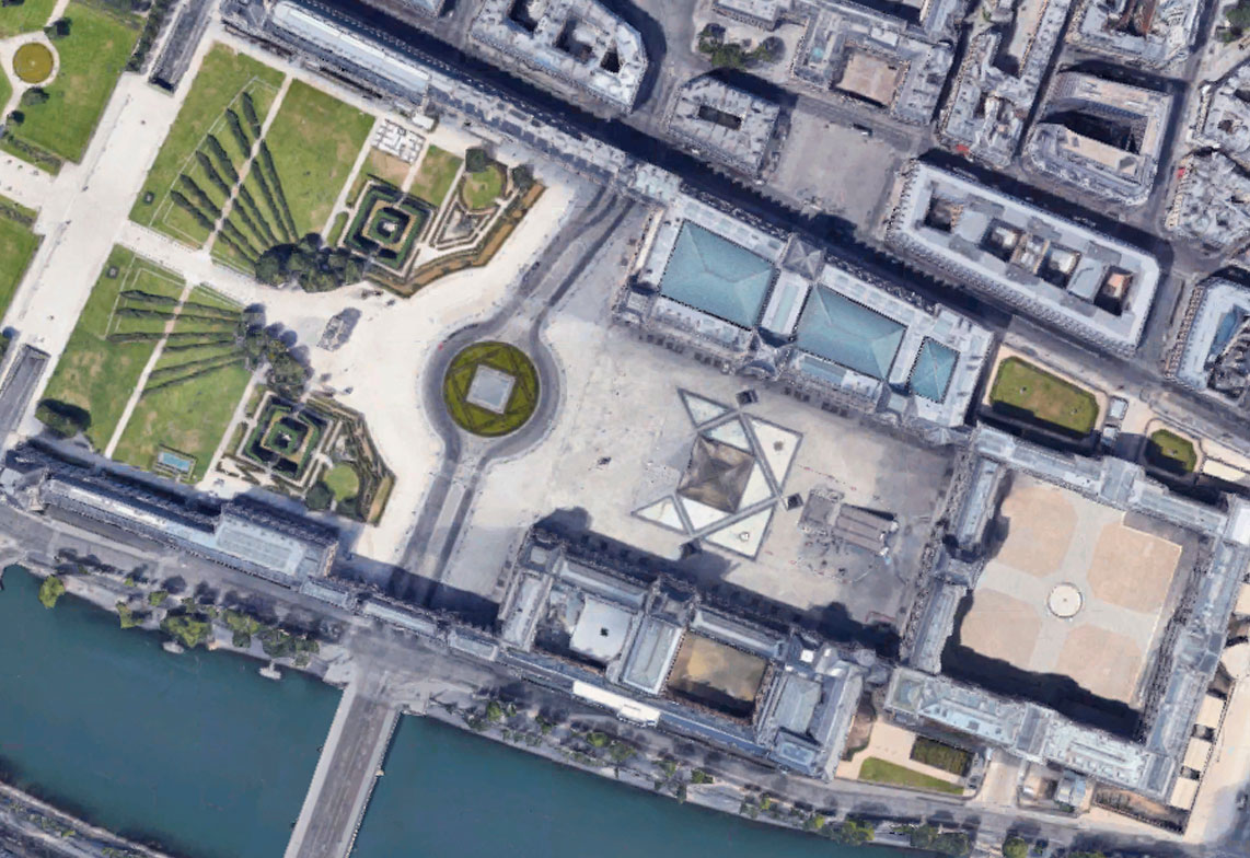
Spectra-View SV-5; is a 5th generation processors that can have the associated camera decks configured to many different formats, including; NADIR multi-spectral, mapping and, oblique. The SV-6 Recon-View is an Ultra high resolution turreted RGB system that has the ability for facial recognition from 5000’ feet.
Team Leader
ADS electrical engineering group is headed by a 5 year veteran with a masters in engineering. Additional people are added to fulfill obligations when the work load requires.
Software Programmers
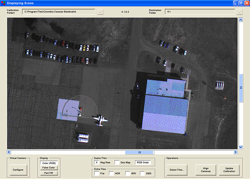
ADS Image software programmer is 25 year veteran with former experience with Huges Aircraft. He specializes in image processing software and integration with lens calibration.
Computer Aided Drafting
ADS contracts its CAD drawing to a 15 year veteran that has a teaching degree as well as independent contractor. He has developed all the camera mounting systems as well as aircraft interface. His aircraft modification drawings go to our FAA DAR’s.
FAA Engineering Group
Momentum Aviation is an Aeronautical engineering company with FAA approved engineers and DAR’s. This company has been provi- ding the necessary drawing approval testing and certification procedures for all the aircraft modifications used for installing the camera systems.
Electronics Technician
ADS Electronics Department is headed by our lead technician with over 12 years’ experience assembling Spectra-View systems and cables. He also provides the required testing and quality control.